Sagip
Disaster information dissemination application
- Allows the public to search for evacuees
- Allows volunteers to keep track of evacuees
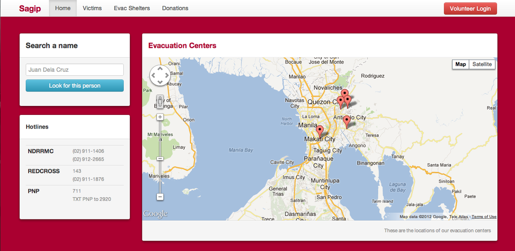
- Uses geolocation to keep track of the evacuation centers
- Allows everyone to know the current state (capacity etc) of evacuation centers
- Uses maps for ease of use
- Has authentication for volunteers (allows access to shelters and evacuees CRUD)
- Used Rails 3 & Google Apps API
un: test@test.com pw: password

